Integrated Tribal Development Agency - Eturnagaram
Tribal Welfare Department Government Of Telangana
Tribal Welfare Department Government Of Telangana
Indian tribal people play a key part in constructing the cultural heritage of India. They occupy a major part in the history of India as they are considered as the true habitants of India.
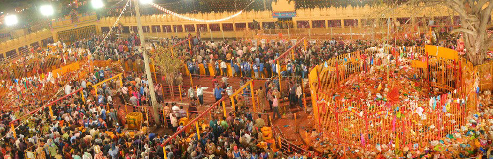
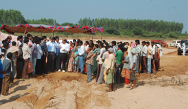
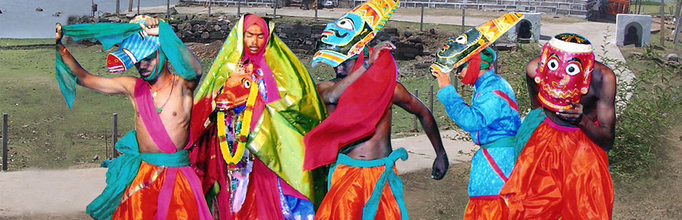
A little festival of tribal origin in Telangana has become a major pilgrimage in the last six years. The Samakka festival is held every two years at in Medaram Village.
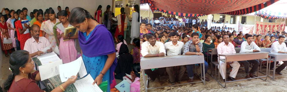
Tribal students, even while they are receiving their education, must be trained to be dedicated to the service of their own people. They must help to develop their people's inner resolve to resist exploitation and to safeguard their own rights
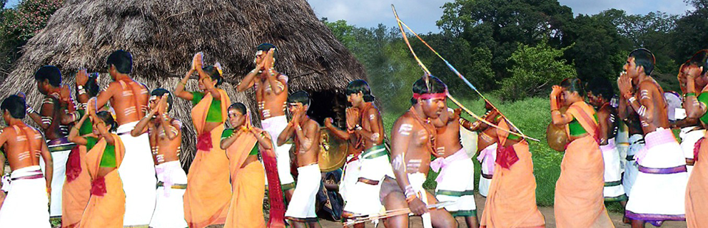
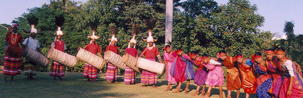
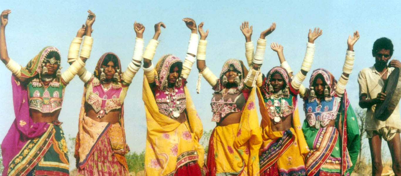
India is home to around 697 tribal groups and communities, each of which follow their own culture and tradition. Festivals are an important part of the life of these tribal groups.
Indian tribal fashion has existed since the primordial existence of tribals who had first laid their footsteps in the subcontinent. With time, several instances and excavations by historians and archaeologists.
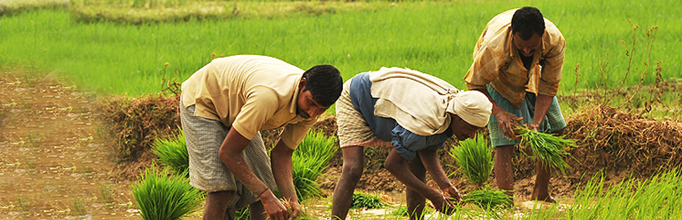
The main profession of tribal is cultivation & lumbering wood from the jungle.The women work harder then the men.Tribal love songs & dance.They use homemade musical instruments,which are made of bamboo.They eat the tiger,dog,goat,pig,cow & many other animals.
The dancers generally dance with arched legs, with the steps being from side to side, turning or even swaying, and in its original form never front to back

Hon’ble Chief Minister
| District | : Warangal |
| Year of Establishment | : 1975 |
| Establishment in Eturnagaram | : 1986 |
| District Geographical Area | : 12846 sq.kms |
| District Forest Area | : 3673.53 sq.kms |
| District total population 2011 | : 35.124 lakhs |

 Warangal district lies between the latitude of 170 – 19’ and 180 – 36’. North and longitudes of 780 –79’ and 480 – 49’ with Nalgonda District in the South, Medak District in West, Karimnagar District in North, and Khammam District in the East. The District spread over an area of 12846 Sq.KMs. This Agency is a society Registered under the Societies Registration act –XXI of 1869 and started functioning from 29-02-1975. In the year 1986 it was shifted from Warangal to Akulavari Ghanpur, Eturnagaram. Koyas, Nayakpods, constitute the aboriginal tribes of this area. The Lambadas & Erukalas were declared as Scheduled Tribe in 1977. The tribal population of the district according to 2011 census is 5.305 Lakhs. The percentage of ST population against the total population of the district is 15.103%.
Koyas, Nayakpods, constitute the aboriginal tribes of this area. The Lambadas & Erukalas were declared as Scheduled Tribe in 1977. The tribal population of the district according to 2011 census is 5.305 Lakhs. The percentage of ST population against the total population of the district is 15.103%.
In Warangal District, Eturnagaram, Mangapet, Tadvai, Govindaraopet, Mulug, Kothaguda, Gudur and Mahabubabad Mandals are mostly inhabited by tribals and come under TSP area. Bhupalpally, Venkatapur, Nallabelly, Narsampet and Khanapur are the other TSP Mandals with little ST population
Andhra Pradesh Re-organisation Act-2014, Guidelines Operationalisation Act, Appointed Day, etc...
Andhra Pradesh Re-organisation Act-2014, Guidelines Operationalisation Act, Appointed Day, etc...
Andhra Pradesh Re-organisation Act-2014, Guidelines Operationalisation Act, Appointed Day, etc...
Copyright © 2015 ITDA, Eturnagaram
Powered by ITDA, Eturnagaram and Developed by Kakatiya Solutions